 WikiTrade
Geographic coordinate system
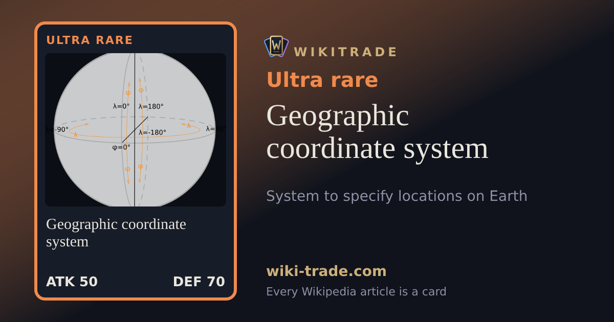
A geographic coordinate system (GCS) is a spherical or geodetic coordinate system for measuring and communicating positions directly on Earth as latitude and longitude. It is the simplest, oldest, and most widely used type of the various spatial reference systems that are in use, and forms the basis for most others. Although latitude and longitude form a coordinate pair like a Cartesian coordinate system, geographic coordinate systems are not Cartesian because the measurements are angles and are not on a planar surface.
On WikiTrade, every Wikipedia article is a card: the more the article is read, the rarer the card. Open free packs, complete your album, trade, bid and challenge others to general-knowledge duels.
Play for freeRead the article on WikipediaText from Wikipedia (CC BY-SA 4.0). WikiTrade is an independent site, not affiliated with Wikipedia or the Wikimedia Foundation.