 WikiTrade
Mercator projection
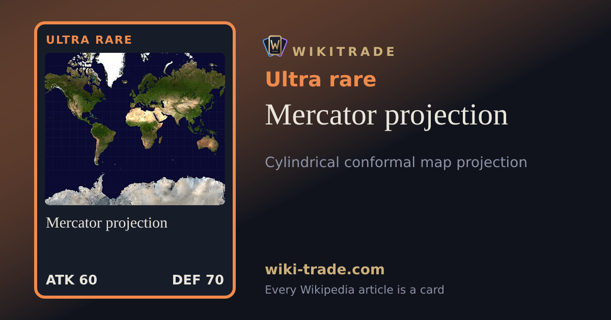
The Mercator projection is a conformal cylindrical map projection first presented by Flemish geographer and mapmaker Gerardus Mercator in 1569. In the 18th century, it became the standard map projection for navigation due to its property of representing rhumb lines as straight lines. When applied to world maps, the Mercator projection inflates the size of lands the farther they are from the equator. Therefore, landmasses such as Greenland and Antarctica appear far larger than they actually are relative to landmasses near the equator. Its use for maps other than marine charts declined throughout the 20th century, but resurged in the 21st century due to characteristics favorable for online mapping.
On WikiTrade, every Wikipedia article is a card: the more the article is read, the rarer the card. Open free packs, complete your album, trade, bid and challenge others to general-knowledge duels.
Play for freeRead the article on WikipediaText from Wikipedia (CC BY-SA 4.0). WikiTrade is an independent site, not affiliated with Wikipedia or the Wikimedia Foundation.